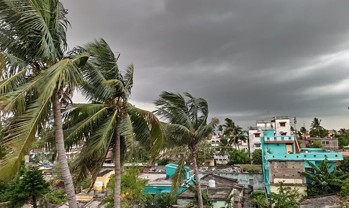
Bhubaneswar: As per the latest prediction of the India Meteorological Department (IMD), cyclonic storm over the Bay of Bengal may not form, contrary to the earlier predictions by the agency.
However, a Well Marked Low Pressure area may reach south Odisha-north Andhra Pradesh coasts around October 15 and cause heavy rainfall in the areas.
“The cyclonic circulation over north Andaman Sea & neighbourhood extending upto 3.1 km above mean sea level persists. As per the latest analysis, under the influence of this cyclonic circulation, a Low Pressure Area is likely to form over East Central Bay of Bengal & adjoining north Andaman sea around 13th October. It is likely to move west-northwestwards and reach south Odisha-north Andhra Pradesh coasts as a Well Marked Low Pressure area around 15th October,” said the morning bulletin of the IMD issued today.
Earlier, it was forecasted that the system may intensify into a cyclonic storm and head towards south Odisha-north Andhra Pradesh coasts.
On the other hand, withdrawal of southwest monsoon from many parts of Odisha has already commenced, the Regional Meteorological Centre here said.
Southwest monsoon has withdrawn from Sundargarh, Jharsuguda, Deogarh, Sambalpur, Bargarh, Bolangir, Sonepur, Nuapada and most parts of Angul, Boudh, and some parts of Mayurbhanj, Keonjhar, Dhenkanal, Kandhamal and Kalahandi districts, the Meteorological Centre said.
Conditions are becoming favorable for further withdrawal of southwest monsoon from some more parts of Odisha during the next two days, it added.
Conditions are becoming favorable for further withdrawal of SW monsoon from some more parts of Odisha during next 2 days.
— Meteorological Centre, Bhubaneswar (@mcbbsr) October 11, 2021


Comments are closed.