
Further misery in store as MeT predicts more rains in Odisha
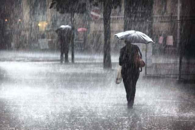
Bhubaneswar: People in several parts of Odisha are in for more trouble as low pressure area over northwest Bay of Bengal is likely to become well marked under the influence of which rain or thundershower is likely to occur at most places in the state.
“Yesterday’s low pressure area over Northwest Bay of Bengal off North Odisha and Gangetic West Bengal Coast now lies over Northwest Bay of Bengal and adjoining coastal areas of Odisha and Gangetic West Bengal at 0830 hours IST today. Associated upper air cyclonic circulation extends up to 7.6 KM above mean sea level and the system is likely to become well marked during next 24 hours,” the Regional Meteorological office said in a bulletin today.
The weatherman has predicted that rain or thundershower is likely to occur at most places over the state.
Heavy to very heavy rainfall at a few places with extremely heavy rainfall at one or two places over the districts of South Odisha and heavy to very heavy rainfall at one or two places over districts of North Odisha likely to occur during next 24 hours, it added.
Strong gusty surface wind from Northwesterly direction in South Odisha and Southeasterly direction in North Odisha with speed reaching 45-50 kmph gusting to 60 kmph likely to prevail along and off Odisha Coast, it further said.
As sea condition would be rough to very rough, the MeT has advised fishermen not to venture into sea.
Comments are closed.