
Another low pressure likely; heavy rainfall in Odisha till Aug 17
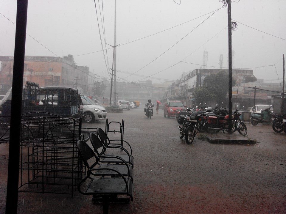
Bhubaneswar: Amidst rainy weather and active monsoon across Odisha, another low pressure is likely to form over the Bay of Bengal next week.
A fresh low pressure area likely to form over north Bay of Bengal around August 19, said Bhubaneswar Meteorological Centre today.
Meanwhile, the well marked low pressure area over north coastal Odisha and adjoining areas of northwest Bay of Bengal and Gangetic West Bengal has triggered rainfall activity in Odisha.
Under influence of the low pressure over the Bay, the heavy rainfall may continue in the State till August 17, the regional meteorological centre said.
According to MeT, heavy to very heavy rainfall at a few places very likely to occur over the districts of Sambalpur, Jharsuguda, Bargarh, Deogarh, Angul, Balangir, Nuapada, Sundargarh, Keonjhar, Dhenkanal, Jajpur, Malkangiri with isolated extremely heavy rainfall over the districts of Sambalpur, Deogarh, Jharsuguda, Bargarh and Angul between today and tomorrow. It may cause water logging in low lying areas, minor damage to kutcha houses and informal kutcha roads.
The yellow warning has been issued for the districts of Balasore, Mayurbhanj, Bhadrak, Cuttack, Kalahandi, Kandhamal and Koraput where the heavy rainfall may lash isolated places during the period.
The MeT also predicted heavy rainfall at isolated places over the districts of Koraput, Nuapada, Bargarh, Balangir, Jharsuguda, Sundargarh and Sambalpur between August 16 and 17.
Due to well marked low pressure area over north coastal Odisha, squally weather with surface wind speed reaching 45-55kmph very likely along and off Odisha coast, over North Bay of Bengal and west central Bay of Bengal. The fishermen are advised not to venture into sea along and off Odisha coast till August 16.
Comments are closed.