
Cyclone Bulbul: Latest updates on impact in Odisha
Bhubaneswar: Severe cyclonic storm Bulbul over westcentral and adjoining eastcentral Bay of Bengal has intensified into a very severe cyclonic storm and is heading towards West Bengal.
As per a latest bulletin issued by the India Meteorological Department (IMD), Bulbul (Pronounced as Bul bul) intensified into a very severe cyclonic storm at 5.30 AM and was about 390 km from south-southeast of Paradip. It is likely to intensify further till November 9 morning. Thereafter, it is very likely to re-curve northeastwards and cross West Bengal-Bangladesh coasts between Sagar Islands (WB) and Khepupara (Bangladesh) during early hours of November 10 as a severe cyclonic storm with maximum sustained wind speed of 110-120 kmph gusting to 135 kmph .
Though Bulbul will not hit Odisha coast, it will trigger moderate rainfall at most places in north coastal districts in the state whereas heavy to very heavy rainfall will occur in some districts on November 8 and 9.
Rainfall warning
- November 8: light to moderate rainfall at most places very likely over north coastal districts of Odisha with isolated heavy to very heavy falls over Puri, Kendrapara, Bhadrak and Jagatsinghpur districts

- November 9: light to moderate rainfall at most places very likely over north coastal districts of Odisha with isolated heavy to very heavy falls over Balasore, Kendrapara, Bhadrak and Jagatsinghpur districts

Wind warning
- Strong wind speed reaching 35– 45 kmph gusting to 55 kmph prevails along and off Odisha coast. It is very likely to increase becoming squally wind speed reaching 45-55 kmph gusting to 65 kmph by afternoon of November 8 along and off Kendrapara, Jagatsinghpur, Balasore and Bhadrak districts.
- Gale wind speed reaching 70-80 kmph gusting to 90 kmph very likely from around noon of November 9 along and off Jagatsinghpur, Kendrapara, Balasore and Bhadrak districts for subsequent 12 hours and decrease thereafter.
- Puri and Ganjam districts are likely to experience squally wind speed reaching 40-50 kmph gusting to 60 kmph from afternoon of November 8 for the subsequent 24 hours
Sea condition
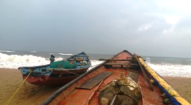
- Sea condition will be rough to very rough along & off Odisha and West Bengal coasts from November 8h onwards becoming high to very high on November 9 and 10
Damage Expected over coastal districts of north Odisha
- Damage to thatched houses/ huts. Unattached metal sheets may fly
- Damage to embankments/ salt pans
- Partial damage to power and communication lines
- Major damage to Kutcha and some damage to Pucca roads. Flooding of escape routes
- Breaking of tree branches, uprooting of trees. Damage to banana and papaya trees. Large dead limbs blown from trees
- Major damage to coastal crops
In view of impact, the Special Relief Commissioner (SRC) yesterday asked authorities concerned to send NDRF and ODRAF teams to districts likely to be affected for relief and rescue operations. Besides, the district collectors of nine districts have been asked to remain alert and keep cyclone shelters ready with all required arrangements. Residents of low lying areas have been advised not to venture out of their home during heavy rain. This apart, the Government has declared closure of all schools and Anganwadi centres in four districts-Jajpur, Puri, Jagatsinghpur and Kendrapara- on November 8 and 9.
Comments are closed.