
Extremely heavy rainfall to lash these Odisha districts during next 48 hours; IMD issues Red Warning
Bhubaneswar: Due to the prevalent monsoon trough and a Deep Depression formed, extremely heavy rainfall is very likely to occur at one or two places in five districts of Odisha during next 24 hours. India Meteorological Department (IMD) regional centre today issued Red Warning in some districts for next two days and Orange Warning for one more day thereafter.
In its evening bulletin, the IMD centre said, “The Depression over Northeast Bay of Bengal moved north-northwestwards with a speed of 25 kmph, intensified into a Deep Depression and lay centred at 0830 hours IST of today, the 1st August, 2023 over the northeast Bay of Bengal off Bangladesh coast near latitude 21.2°N and longitude 91.2°E, about 160 Km eastsoutheast of Khepupara (Bangladesh) and 420 Km east of Digha (West Bengal). It is likely to move northwestwards and cross Bangladesh coast close to east of Khepupara by evening of today, the 1st August. Thereafter, it is very likely to move west-northwestwards across Gangetic West Bengal during subsequent 24 hours. The Western end of the Monsoon Trough at mean sea level runs close to foothills of Himalayas and Eastern end continue and now passes through Gorakhpur, Patna, Sriniketan, Canning and thence eastsoutheastwards to the center of Deep Depression over northeast Bay of Bengal off Bangladesh coast.”
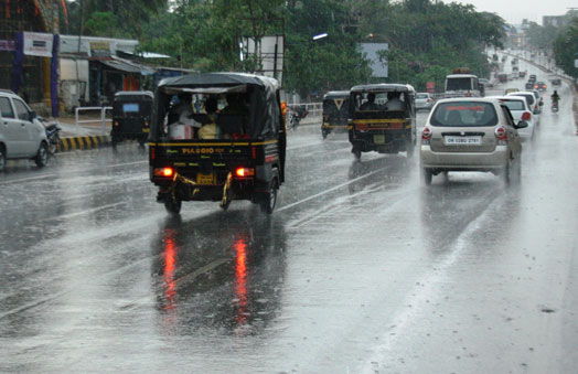
Southwest Monsoon has been active over Odisha. Light to moderate rain or thundershower is very likely to occur at most places over the districts of the State, the IMD mentioned.
The highest maximum temperature of 35.2oC was recorded at Jharsuguda and the lowest minimum temperature of 22.5oC was recorded at Phulbani in the plains of Odisha.
Weather forecast and warning for districts of Odisha for the next two days:
For Tuesday (Valid up to 0830 hrs IST of 02.08.2023)
Red Warning (Take Action)- Heavy to very heavy rainfall (7cm to 20 cm) at a few places with isolated extremely heavy falls (>20cm) is very likely to occur over the districts of Balasore, Angul, Dhenkanal, Keonjhar and Mayurbhanj. Also there are possibilities of thunder with lightning activity.
Orange Warning (Be Prepared)- Heavy to very heavy rainfall (7cm to 20cm) is very likely to occur at a few places along with thunder and lightning over the districts of Jajpur, Bhadrak, Deogarh, Sambalpur, Jharsuguda, Sonepur, Boudh, Sundargarh, Jagatsinghpur, Kendrapara, Cuttack, Khordha and Puri.
Yellow Warning (Be Updated)- Heavy rainfall (7cm to 11cm) is very likely to occur at one or two places over the districts of Bargarh, Nayagarh, Kandhamal, Kalahandi, Bolangir, Nuapada and Ganjam.
For Wednesday (Valid from 0830 hrs IST of 02.08.2023 to 0830 hrs IST of 03.08.2023)
Red Warning (Take Action)- Heavy to very heavy rainfall (7cm to 20 cm) at a few places with isolated extremely heavy rainfall (>20cm) is very likely to occur over the districts of Sundargarh, Jharsuguda, Bargarh and Sambalpur.
Orange Warning (Be Prepared)- Heavy to very heavy rainfall (7cm to 20cm) is very likely to occur at a one or two places over the districts of Deogarh, Angul, Keonjhar, Sonepur, Boudh, Bolangir, Nuapada, Kalahandi and Kandhamal.
Yellow Warning (Be Updated)- Heavy rainfall (7cm to 11cm) is very likely to occur at one or two places over the districts of Mayurbhanj, Balasore, Dhenkanal, Cuttack, Nayagarh, Nabarangpur, Jajpur and Bhadrak.
Comments are closed.