
Low pressure likely to trigger heavy rain, thundershower in Odisha
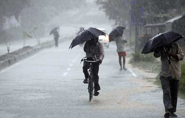
Bhubaneswar: The low pressure area over central parts of Odisha is likely to trigger rainfall and thundershower in most parts of the state during the next 24 hours, the local meteorological centre predicted today.
“Yesterday’s low pressure area over over Central parts of Odisha and neighbourhood now lies as a Well Marked Low Pressure Area over Southwest Madhya Pradesh & neighbourhood,” a bulletin of the meteorological centre said.
“Rain/Thundershower likely to occur at most places in districts of Odisha during next 24 hours,” it forecasted.
“Heavy rainfall likely to occur at one or two places over districts of Coastal Odisha during next 24 hours,” it warned.
Strong gusty surface wind from southeasterly direction in north Odisha and southwesterly direction in south Odisha with speed reaching 35-45 KMPH gusting to 55 KMPH likely to prevail along and off Odisha coast.
Sea condition would be moderate to rough for which fishermen have been advised to be cautious while venturing into sea.
On the other hand, the meteorological centre issued lightning warning for 19 districts till 5.30 am today.
The districts are Keonjhar, Mayurbhanj, Balasore, Bhadrak, Jajpur, Jagatsinghpur, Kendrapara, Nayagarh, Cuttack, Angul, Khurda, Puri, Malkangiri, Ganjam, Gajapati, Kandhamal, Koraput, Rayagada and Nabarangpur.
People in these districts have been advised to take shelter in nearby buildings or other safety locations.
Comments are closed.