
Respite amid heatwave: Low pressure formed, rain likely in Odisha
Odisha Sun Times Bureau
Bhubaneswar, Apr 14:
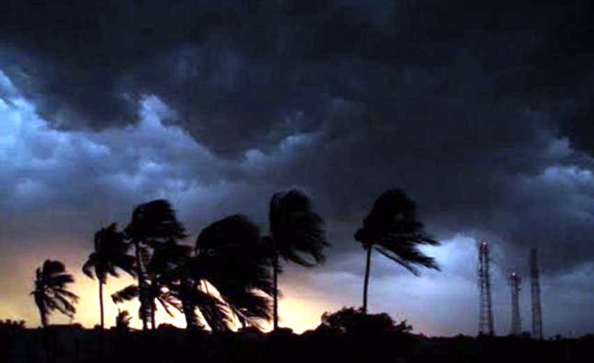
A well marked low pressure area formed over south-east Bay of Bengal is likely to trigger rainfall in coastal and interior Odisha by tomorrow, the Indian Meteorological Department (IMD) predicted today.
The low pressure is likely to concentrate into a depression during next 36 hours and intensify further during subsequent 24 hours, a bulletin of the IMD said.
“The low pressure area over Southeast Bay of Bengal & neighbourhood has become well marked over the same region and associated upper air cyclonic circulation extends upto mid-tropospheric levels. It is very likely to concentrate into a depression during next 36 hours and intensify further during subsequent 24 hours. The system is very likely to move north-northeastwards during next 72 hours,” the release said.
Thunder squall with hail/rain and wind speed reaching 50-60 kmph likely to occur at one or two places over coastal Odisha and adjoining districts of Kandhamal, Kalahandi and Rayagada, the Bhubaneswar Meteorological Centre predicted, adding that strong and gusty surface wind speed reaching 45 kmph gusting to 50 kmph likely to prevail along and off Odisha coast.
Fishermen have been advised not to venture into sea.
Comments are closed.