
Well marked Low pressure formed; likely to intensify into cyclonic storm by May 16
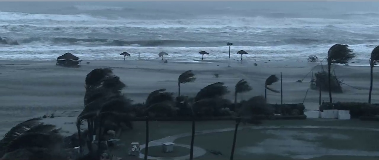
Bhubaneswar: The low pressure area formed over southeast Bay of Bengal and adjoining south Andaman sea has become well marked and now lies over southeast Bay of Bengal and neighbourhood with associated cyclonic circulation extending upto mid-tropospheric levels.
According to India Meteorological Department, the well marked low pressure is very likely to concentrate into depression over central parts of south Bay of Bengal on May 15 and further intensify into a cyclonic storm over the same region by May 16.
“It is likely to move northwestwards initially till May 17 and then re-curve north-northeastwards towards north Bay of Bengal during May 18 and 19,” IMD said in a release today.

However, the NEPS (Ensemble Prediction System of India’s National Centre for Medium-Range Weather Forecasts, NCMRWF) model is indicating cyclogenesis over southwest BoB on 16th May with near north-northwest movement till 20th May towards westcentral BoB off Odisha coast, said the IMD.
Fishermen are advised not to venture into #Odisha-West Bengal coasts from 18th May onwards and those out at sea are advised to return to the coast: IMD.
— Sambad English (@Sambad_English) May 14, 2020
Comments are closed.