
Heavy to very heavy rainfall likely to lash these Odisha districts on September 20; check details
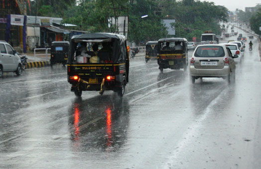
Bhubaneswar: Due to prevalent monsoon trough and cyclonic circulation, heavy to very heavy rainfall (7 to 20cm) is very likely to occur at one or two places over seven districts of Odisha during the next 24 hours. India Meteorological Department (IMD) today issued Orange Warning for the next three days and Yellow Warning for a day thereafter.
In its mid-day bulletin, the IMD regional centre said, “Under the influence of the cyclonic circulation over Northwest and adjoining Central Bay of Bengal, a Low Pressure Area has formed over northwest Bay of Bengal off West Bengal-Odisha coasts. Associated cyclonic circulation extends up to 7.6 km above mean sea level tilting southwestwards with height. It is likely to move west-northwestwards across North Odisha and South Jharkhand during next 2 days. The Monsoon Trough at mean sea level now passes through Jaisalmer, Kota, Guna, Siddhi, Ranchi and the centre of Low Pressure Area over northwest Bay of Bengal off West Bengal-Odisha coasts and thence southeastwards to Eastcentral Bay of Bengal.”
Light to moderate rain and or thundershower is very likely to occur at most places over the districts of North Odisha, South Coastal Odisha and at many places over the districts of South Interior Odisha. The highest maximum temperature of 35.2oC was recorded at Puri and the lowest minimum temperature of 20.0oC was recorded at Angul in the plains of Odisha.
Weather forecast and warning in Odisha districts for the next two days:
For Tuesday (Valid up to 0830 hrs IST of 20.09.2023)
Orange Warning (Be Prepared)- Heavy to very heavy rainfall (7 to 20cm) is very likely to occur at one or two places over the districts of Keonjhar, Mayurbhanj, Balasore, Bhadrak, Kendrapada, Jagatsinghpur and Puri.
Yellow Warning (Be Updated)- Heavy rainfall (7 to 11cm) is very likely to occur at one or two places over the districts of Jajpur, Cuttack, Khurda, Ganjam, Dhenkanal, Angul, Deogarh, Sundargarh, Jharsuguda, Sambalpur, Sonepur, Boudh, Kandhamal and Kalahandi.
Thunderstorm with lightning is very likely to occur at one or two places over the districts of Balasore, Bhadrak, Jajpur, Kendrapara, Jagatsinghpur, Cuttack, Khurda, Puri, Nayagarh, Ganjam, Gajapati, Mayurbhanj, Keonjhar, Angul, Dhenkanal, Sambalpur, Sundargarh, Deogarh, Jharsuguda, Bargarh, Boudh, Kalahandi, Kandhmal, Sonepur and Bolangir.
For Wednesday (Valid from 0830 hrs IST of 20.09.2023 to 0830 hrs IST of 21.09.2023)
Orange Warning (Be Prepared)- Heavy to very heavy rainfall (7 to 20cm) is very likely to occur at one or two places over the districts of Kalahandi, Kandhamal, Sonepur, Bolangir, Boudh, Sambalpur, Angul, Bargarh and Jharsuguda.
Yellow Warning (Be Updated)- Heavy rainfall (7 to 11cm) is very likely to occur at one or two places over the districts of Mayurbhanj, Keonjhar, Dhenkanal, Cuttack, Sundargarh, Deogarh, Nuapada, Nabarangpur, Rayagada and Ganjam.
Thunderstorm with lightning is very likely to occur at one or two places over the districts of Balasore, Bhadrak, Jajpur, Kendrapara, Jagatsinghpur, Cuttack, Mayurbhanj, Keonjhar, Angul, Dhenkanal, Sambalpur, Sundargarh, Deogarh, Jharsuguda, Bargarh, Nuapada, Bolangir, Sonepur, Boudh, Kalahandi, Kandhamal, Ganjam, Nayagarh, Puri and Khurda.
Comments are closed.