
Low pressure forms over BoB; heavy rainfall to continue in Odisha till Aug 30
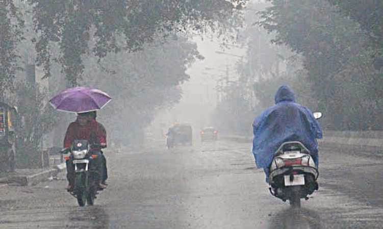
Bhubaneswar: A fresh low pressure formed over the Bay of Bengal off north Andhra Pradesh and south Odisha coasts. Under its impact, heavy rainfall may continue in several parts Odisha till August 30, the IMD predicted today.
“Under the influence of yesterday’s cyclonic circulation, a low pressure area has formed over northwest adjoining westcentral Bay of Bengal off North Andhra Pradesh South Odisha coasts,” the Regional Meteorological Centre, Bhubaneswar, tweeted.
The low pressure may bring more rains for several parts of the State in upcoming days.
As per Bhubaneswar MeT, heavy rainfall very likely to occur at one or two places over the districts of Gajapati, Ganjam, Puri, Khordha, Jagatsinghpur, Nayagarh, Cuttack, Angul, Deogarh, Kandhamal,Koraput, Malkangiri and Rayagada today.
This apart, thunderstorm with lightning very likely to occur at one or two places over the districts of Balasore, Bhadrak, Jajpur, Kendrapara, Cuttack,
Jagatsinghpur, Puri, Khordha, Nayagarh, Ganjam, Gajapati, Keonjhar, Mayurbhanj, Angul, Dhenkanal, Kandhamal, Boudh, Rayagada, Koraput and Malkangiri today.
The heavy rainfall is on the cards in Odisha till August 30.
While the IMD issued heavy rainfall alert for one or two places over the districts of Koraput, Malkangiri, Nawarangpur, Kalahandi, Kandhamal, Rayagada, Gajapati and Ganjam on August 29, thunderstorm with lightning very likely to occur at one or two places over the districts of Balasore, Bhadrak, Jajpur, Kendrapara, Cuttack, Jagatsinghpur, Puri, Khurda, Nayagarh, Ganjam, Gajapati, Keonjhar, Mayurbhanj, Angul, Dhenkanal and Boudh tomorrow.
The heavy rainfall is very likely to occur at one or two places over the districts of Koraput, Malkangiri, Nabarangpur, Nuapada, Kalahandi, Balangir, Bargarh, Jharsuguda and Sundargarh on August 30, as per the a weather bulletin issued yesterday.
Comments are closed.