
Forecasted Cyclone ‘Michaung’ may turn severe, cross south Odisha-north AP coast, indicate models
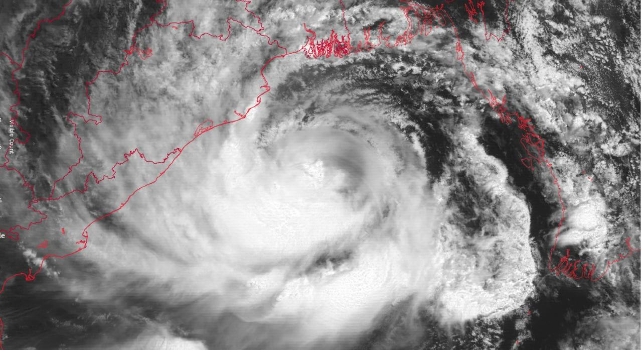
Bhubaneswar: While a cyclonic storm is likely to form over the Bay of Bengal after November 29, the system may turn severe and cross south Odisha-north Andhra Pradesh coast, weather models indicated.
The Regional Specialised Meteorological Centre-Tropical Cyclones in its weather outlook issued today said that the IMD GFS model is indicating extended low pressure area over southwest Bay of Bengal on 27th November, depression on 30th November over southwest Bay of Bengal and cyclonic storm on 1st December over southwest Bay of Bengal. It is indicating further intensification. It is indicating north-northwestwards movement of the system till 4th December and then north-northeastwards recurvature. The system is indicated to cross north Andhra Pradesh-south Odisha coast on 5th December as a very severe cyclonic storm. Thereafter, it is indicated to move along coast with rapid weakening, the outlook said.
On the other hand, the ECMWF model is indicating formation of depression on 29th November over southeast Bay of Bengal. It is also indicating intensification into cyclonic storm on 2nd December over southwest Bay of Bengal. Further intensification is also suggested. It is also indicating crossing over north Andhra Pradesh-south Odisha coast on 6th December, the outlook added.
As far as the official forecast issued by the India Meteorological Department (IMD) is concerned, a low pressure area has formed over south Andaman Sea and adjoining Malacca Strait today. It is likely to move west-northwestwards and intensify into a depression over southeast Bay of Bengal around 29th November. Thereafter, it is likely to move northwestwards and intensify further into a cyclonic storm over southeast Bay of Bengal during the subsequent 48 hours.
The system will be named as Cyclone ‘Michaung’ if it intensifies into a cyclonic storm.
Comments are closed.