
Rain, dense fog likely in Odisha in next 3 days due to fresh low pressure
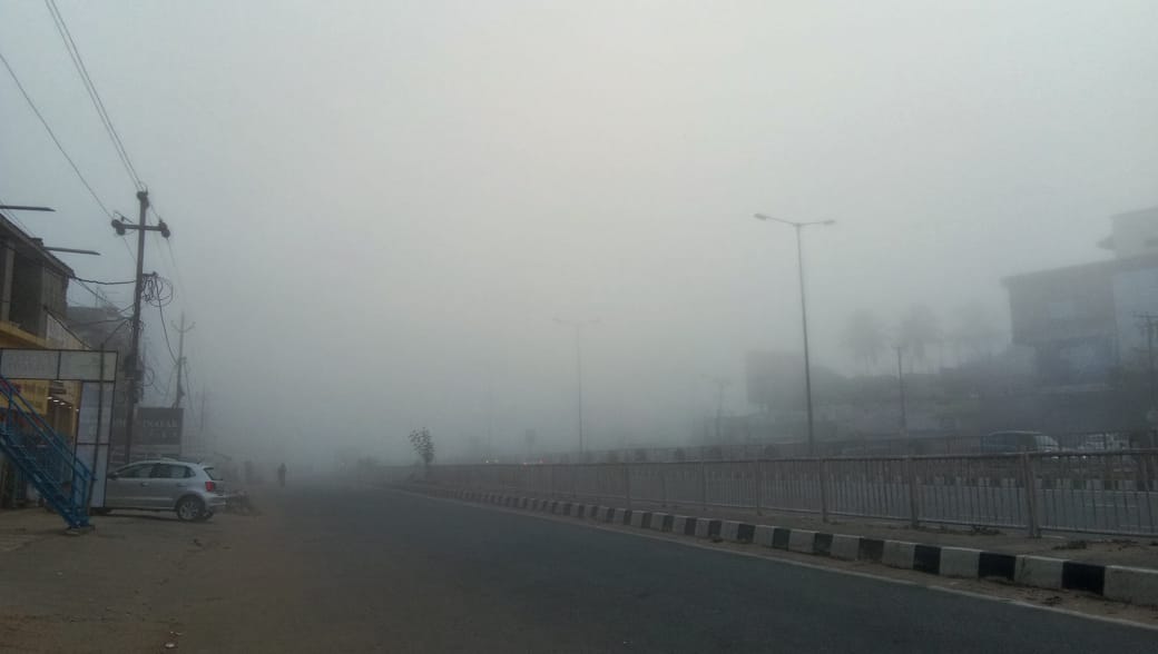
Bhubaneswar: Several parts of Odisha may experience rainfall and dense fog in next 3 days due to a fresh low pressure formed over equatorial Indian Ocean and adjoining parts of Bay of Bengal.
Under the influence of the cyclonic circulation over Equatorial Indian Ocean and adjoining Southeast Bay of Bengal, a low pressure area has formed over Equatorial Indian Ocean and adjoining central parts of South Bay of Bengal, informed the Regional Meteorological Centre, Bhubaneswar, today.
It is likely to concentrate into a depression over Southwest Bay of Bengal during next 48 hours and intensify further during subsequent 48 hours. It is very likely to move westnorthwestwards towards Srilankasouth Tamilnadu coast and reach near Tamilnadu & Puducherry coast on 25th November, 2020.
Under effect of the low pressure, some parts of Odisha are likely to receive rain and to be covered with dense fog from today till November 24.
The MeT has issued yellow warning for the districts of Odisha for next 3 days.
Day 1 (valid from today till tomorrow morning): Thunderstorm with lightning very likely to occur at one or two places over the districts of Cuttack, Kandhamal, Kalahandi, Rayagada, Koraput, Ganjam, Nabarangpur and Jajpur.
Day 2 (valid from tomorrow morning upto Nov 23): Dense fog very likely to occur at one or two places over the districts of Mayurbhanj, Balasore, Kalahandi, Balangir, Jajpur, Jharsuguda, Sundargarh, Angul, Dhenkanal, Kandhamal, and Keonjhar.
Day 3 (valid from Nov 23 morning upto Nov 24 morning): Dense fog very likely to occur at one or two places over the districts of Ganjam, Gajapati, Rayagada, Kalahandi, Kandhamal, Mayurbhanj, Keonjhar, Cuttack and Jajpur.
Comments are closed.